
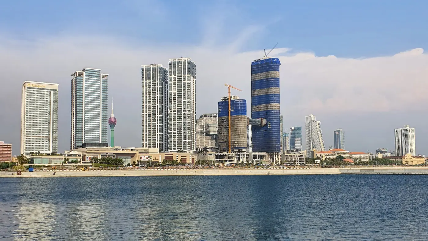
 Photo: XKillSwitchXxx · CC BY-SA 4.0
Network hub
Colombo
Multimodal hub with Colombo Fort.
A network of vertiports on land and water, starting with key coastal and high-traffic locations — designed for rapid, convenient and integrated low-altitude air mobility across Sri Lanka.
Select a city on the map or below to compare an estimated Seahorse flight from Colombo with a typical drive.
Colombo → Galle
—
—
Estimates. Air time assumes a 200 km/h cruise plus 6 minutes for take-off and landing; final figures depend on certification and route approval. Road times are typical drives and vary with traffic.
Photo: XKillSwitchXxx · CC BY-SA 4.0Multimodal hub with Colombo Fort.
 Photo: Rovin Shanila · CC BY-SA 4.0
The historic fort and the south coast.
 Photo: Dan arndt · CC BY-SA 4.0
The hill capital, without the climb.
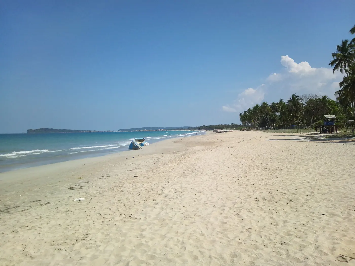 Photo: Honeplus · CC BY-SA 3.0
East-coast beaches and harbour.
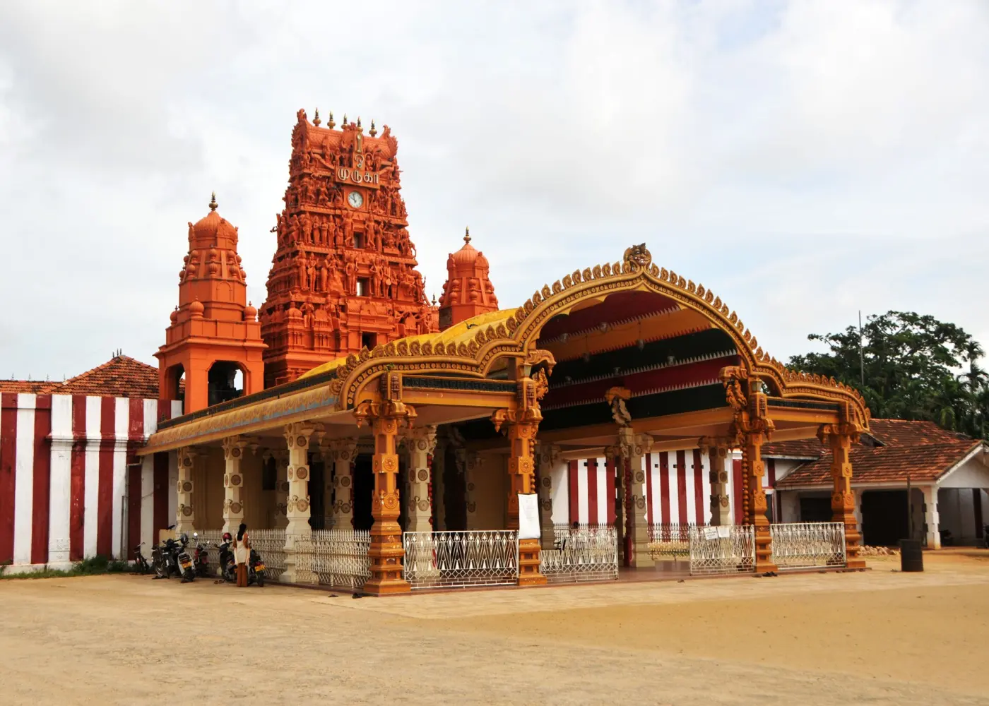 Photo: Gane Kumaraswamy · CC BY-SA 2.0
The far north, without the long drive.
 Photo: Imaadwhd · CC BY-SA 3.0
Lagoons and Pasikudah bay.
 Photo: Abishek Palraj · CC BY-SA 4.0
Mirissa and the southern tip.
Vertiports at strategic hubs link air mobility with the transport people already use — improving commuting efficiency for everyone.
Colombo · Katunayake · Negombo · Gampaha · Kurunegala · Kandy · Anuradhapura · Jaffna · Trincomalee · Batticaloa · Galle · Matara
Kilinochchi · Mannar · Vavuniya · Puttalam · Chilaw · Polonnaruwa · Homagama · Avissawella · Panadura · Kalutara · Ratnapura · Hambantota
Every vertiport, on land or water, requires CAASL certification. Initial test sites benefit from SLAF collaboration; final locations are set on commercial terms following TELCC recommendations.